An indoor positioning system (IPS) is a system that works out where people or objects are inside buildings, where satellite positioning such as GPS is too weak or too inaccurate to use.
There is no single best technology. Ultra-wideband (UWB), Bluetooth, Wi-Fi, RFID and cameras each measure something different, and that decides how accurate, how expensive and how robust they are. This guide compares them side by side so you can match the technology to the job.
Why does GPS not work indoors?
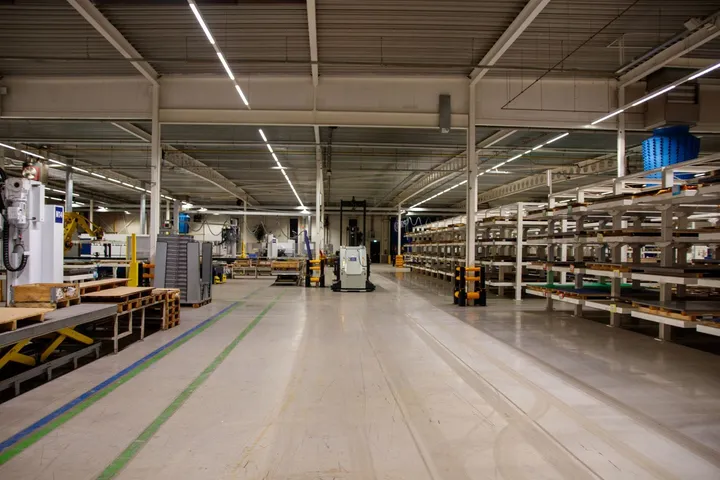
GPS and other satellite systems (GNSS) transmit from about 20,000 km away. By the time their signals reach the ground they are weaker than the receiver’s own background noise: around −130 dBm. A receiver can still dig them out under open sky, but roofs, concrete and steel absorb what little is left, and reflections confuse the timing.
Even outdoors, GPS.gov puts typical smartphone accuracy at about 4.9 m under open sky, and worse next to buildings, bridges and trees. Inside a warehouse or a hospital you get no reliable position at all. That gap is why “indoor GPS” has become shorthand for indoor positioning systems that bring their own infrastructure.
How do indoor positioning systems measure position?
Every indoor technology relies on one or more of these methods:
- Proximity: a tag is near a reader, because the reader can hear it. Simple, but the position is only “somewhere near the reader”.
- Signal strength (RSSI): weaker signal means further away. Bodies, doors and machines change signal strength, so results are typically accurate to a few metres. Fingerprinting improves this by comparing readings with a map recorded in advance, which has to be redone when the layout changes.
- Angle of arrival (AoA): an antenna array measures the direction a signal comes from. Errors grow with distance: an angle error of 5° is about 1.75 m at 20 m.
- Travel time: the time a signal takes to arrive, either one way, there and back (two-way ranging) or as a difference between receivers (TDoA). Radio travels about 30 cm per nanosecond, so precise timing gives precise distance. See TWR vs TDoA vs AoA.
- Dead reckoning: accelerometers and gyroscopes estimate movement from a known starting point. Useful between radio fixes, but the error grows over time.
- Vision: cameras or laser scanners (LiDAR) detect objects in images or point clouds.
How do UWB, Bluetooth, Wi-Fi, RFID, GPS and cameras compare?
| UWB | Bluetooth LE | Wi-Fi | RFID | GNSS (GPS, Galileo) | Camera or LiDAR | |
|---|---|---|---|---|---|---|
| How it locates | Travel time (two-way ranging or TDoA), sometimes angle | Signal strength (RSSI), proximity or fingerprinting; or angle of arrival (AoA) at antenna-array locators | Signal strength or round-trip time (802.11mc/az) | Passive (UHF): proximity to a reader Active: signal strength or proximity | Satellite timing | Image or point-cloud processing |
| Typical accuracy | 10–30 cm in busy buildings; a few cm in line of sight | RSSI: 1–5 m, room or zone AoA: 10 cm to 1 m, vendor-stated | Several metres; 1–2 m with RTT | Passive: presence at a read point, up to several metres away Active: zone, metres | About 5 m outdoors; unusable indoors | Centimetres to decimetres within view |
| Tag power | Battery, typically years | Battery, years | Phones, laptops, Wi-Fi tags | Passive: no battery Active: battery | Battery or vehicle power | No tag (or printed markers) |
| Infrastructure | Base stations (UWB anchors), usually powered over Ethernet | RSSI: beacons or gateways, low cost AoA: locators that must be mounted and aimed precisely | Existing access points (RTT needs support) | Passive: readers and antennas at gates, doors, shelves Active: readers or exciters | None | Cameras, compute, lighting |
| Good fit for | Vehicle and pedestrian safety, work in progress, tools, sports | RSSI: room-level asset finding, phone wayfinding, occupancy AoA: sub-metre tracking in open halls and retail | Phones and laptops on existing networks | Passive: inventory counts, goods in and out Active: yards, zones, long read range | Outdoor vehicles and assets | Tag-free detection, robot navigation |
When is each technology the right choice?
Ultra-wideband (UWB)
Choose UWB when the distance between two moving things matters, or when you need to know which workstation or bay something is at. It times nanosecond pulses, so reflections from racks and machines affect it less than signal-strength methods. Tags cost more than Bluetooth beacons and base stations need planning and cabling. Many flagship phones include UWB, but most industrial systems use dedicated tags. See what is UWB.
Bluetooth Low Energy
Choose Bluetooth signal strength when knowing the room or zone is enough, for example to find infusion pumps on a hospital floor. Angle of arrival improves accuracy to under a metre in open spaces, but the locators must be installed and oriented carefully. Bluetooth Channel Sounding, added in Bluetooth 6.0 in 2024, measures distance between two devices; the Bluetooth SIG reports about ±20 cm in early implementations. See UWB vs Bluetooth.
Wi-Fi
Choose Wi-Fi when you want to locate phones and laptops on a network you already have and room-level accuracy is enough. Round-trip-time ranging (IEEE 802.11mc, now 802.11az) improves this to 1–2 m where access points and devices support it.
RFID
Choose passive RFID to count and identify goods as they pass gates, doors or shelves. Tags are cheap, thin and battery-free, but the system only knows a tag was near a reader. Active RFID adds a battery and range and locates tags to a zone.
GNSS
Use GNSS outdoors: yards, ports, construction sites, vehicle fleets. Outdoors, real-time kinematic (RTK) correction can reach centimetres, but only with a clear view of the sky.
Cameras and LiDAR
Use vision where tags are impractical, for example to detect any person near a machine, or for robot navigation. Vision needs a clear line of sight, steady lighting and a lot of processing, and identifying who or what it sees is hard without markers. Cameras also need a careful privacy assessment.
Can you combine technologies?
Yes, and many good systems do:
- GNSS outdoors, UWB indoors for vehicles that cross between yard and hall.
- RFID for goods, UWB for vehicles: the forklift’s position tells you where the pallet it just scanned was put down.
- Bluetooth plus UWB in phones, car keys and door locks: Bluetooth finds the device and sets up the session, UWB measures the distance.
- Motion sensors plus radio: accelerometers let tags sleep when parked and help smooth positions between radio updates.
International standards help here: ISO/IEC 24730 defines an application programming interface for real-time locating systems, and vendor-neutral location hubs let data from several technologies appear in one coordinate system.
Where to go next
Read what is UWB for how ultra-wideband works, UWB vs Bluetooth for a closer comparison of the two most common choices, and what is RTLS for how a complete location system fits together. When you are ready to size a project, try the base station estimator.
Frequently asked questions
What is the most accurate indoor positioning technology?
Is there such a thing as indoor GPS?
Is UWB better than RFID?
Can I use my existing Wi-Fi for indoor positioning?
Why not just use cameras?
Which indoor positioning technology is cheapest?
Sources and further reading
- GPS.gov: GPS accuracy
- Android Developers: Wi-Fi location, ranging with RTT
- Bluetooth SIG: Bluetooth direction finding
- Bluetooth SIG: Bluetooth Channel Sounding
- FiRa Consortium technical FAQ
- ISO/IEC 24730-1:2014, Real-time locating systems (RTLS), Part 1: Application programming interface
Published . Last reviewed by the Noccela engineering team.